a blog-style portfolio showcasing data science projects
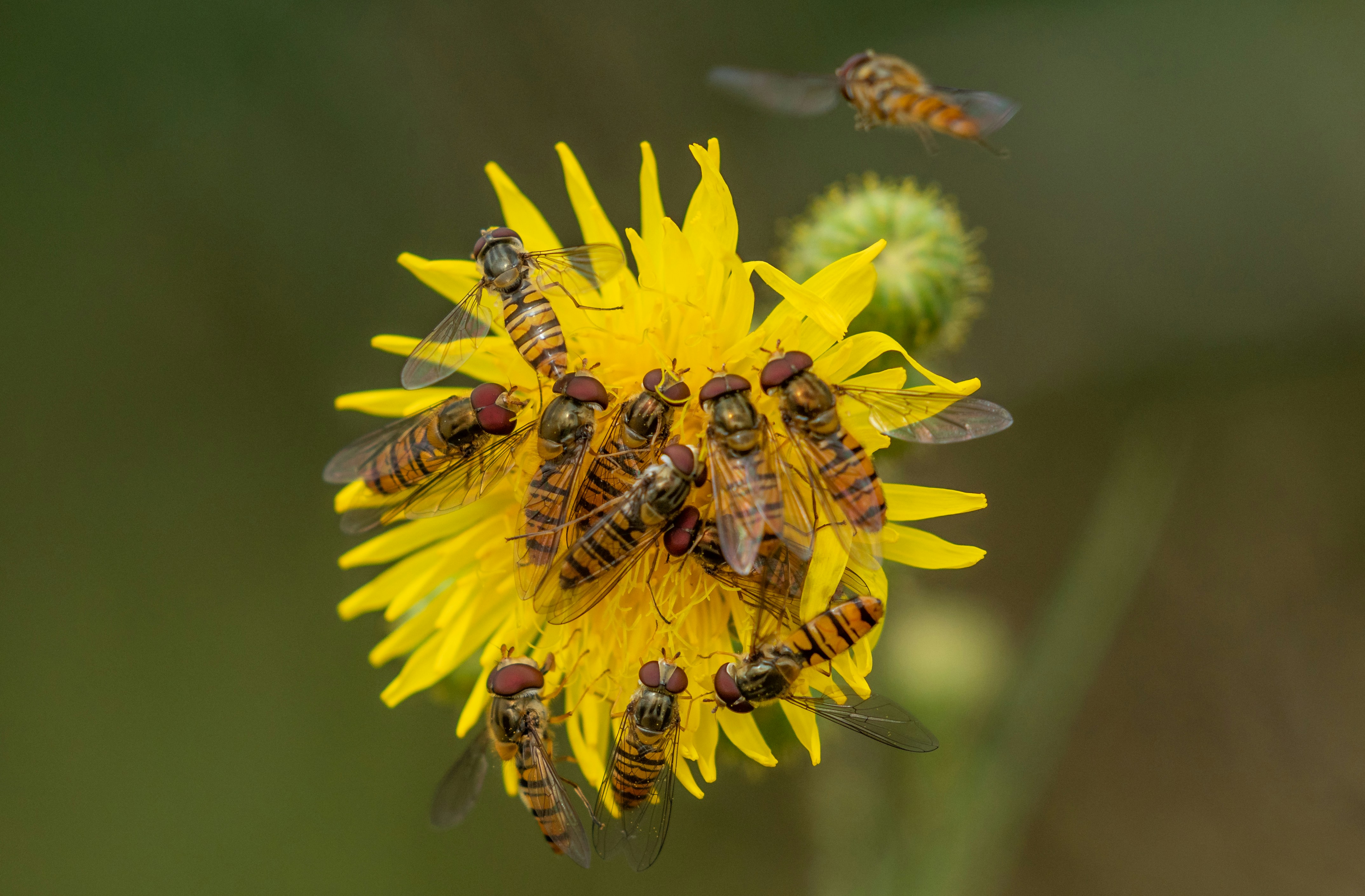
It’s a wasp! It’s a bee! No, it’s a… hoverfly?
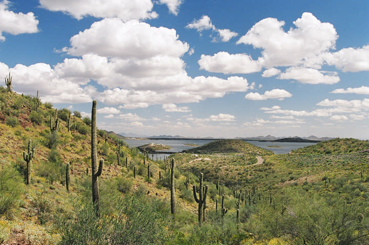
Examining changes in BII in the Phoenix county subdivision area between 2017 and 2020, shedding light on how urban growth affects biodiversity over time.
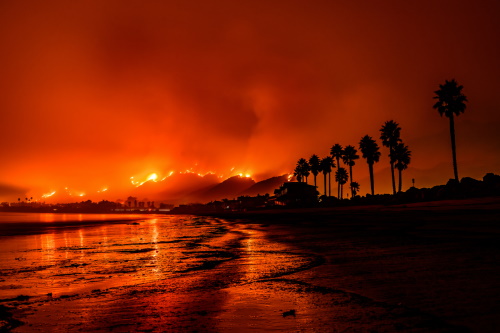
Using AQI data and false color imagery to visualize the effects of the Thomas Fire on Santa Barbara county
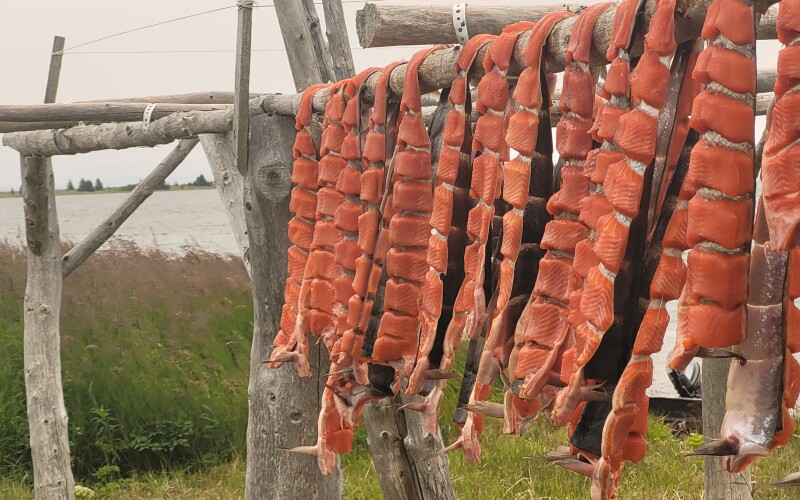
Exploring Chinook salmon harvest within commercial and subsistence fishing sectors in the Aleutian Islands
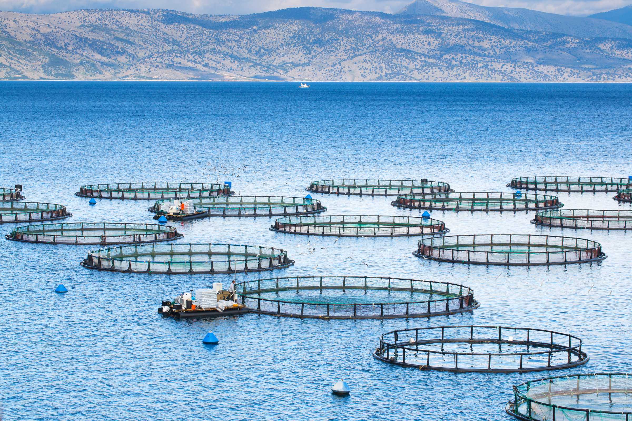
Using key concepts in geospatial analysis to create a function that prioritizes maritime regions best suited for marine aquaculture
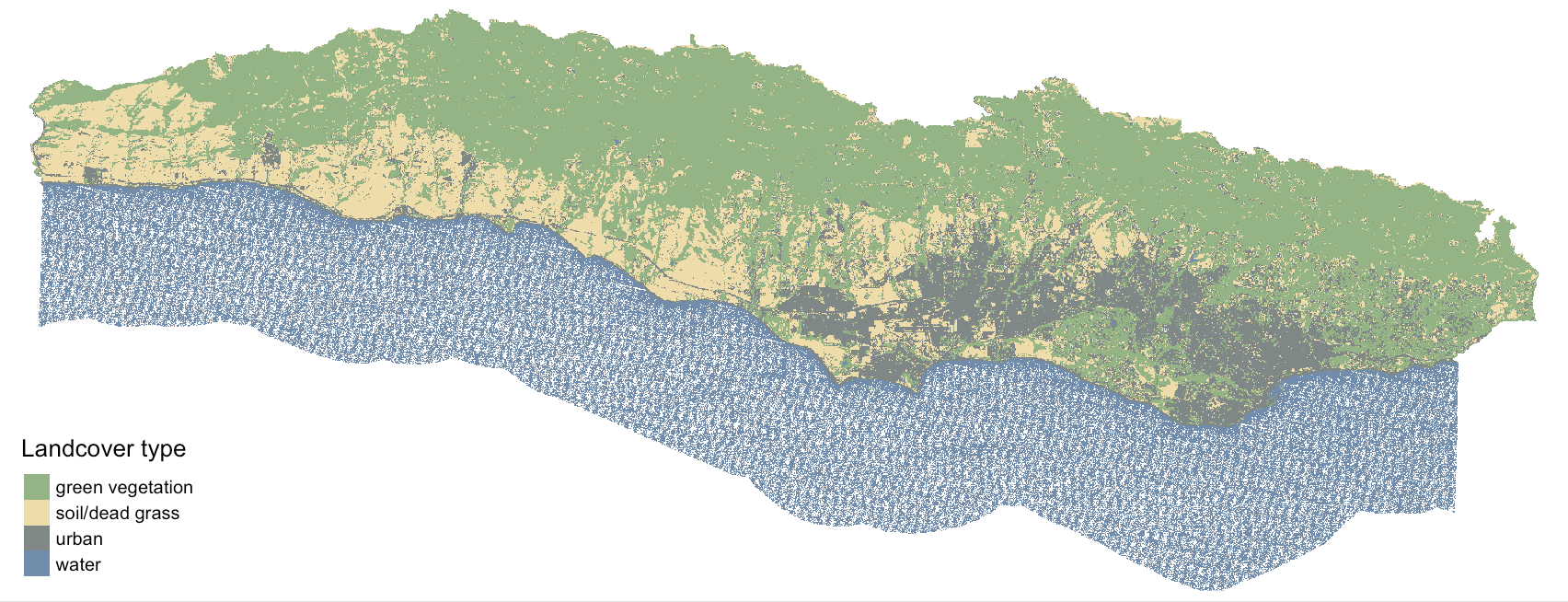
Using a decision tree classifier to create a land cover classification for southern Santa Barbara County